In my search for some winter weather a tweet by Amy H Butler about dynamic final warmings piqued my interest.
According to the atmospheric scientist a winter where there was no major disruptions of the polar vortex (SSW) we are more likely to see a dynamic early final warming. A table published by Wiley shows the final warming dates.
* means there was a SSW, bold means late FW (after the mean date of April 15).
So what could this mean for the weather in the London area? Considering all the above years with no SSW gives an average date of April 19th for a dynamic final warming.
I then looked at the TMax anomaly for those years for 60 days following a DFW and came up with the following graph.
The results suggest temperatures in April will be heading down in the final week for a cold end. The average to cool theme continues into May before temperatures lift in the final week for a warm end, with anomalies up to 5C above average. June, however, looks shocking with temperatures nearly 6C below average by the 16th.
This winter has so far been very similar in type to 1990. The dynamic final warming that year was among the latest in the list and led to a cool and dull June with anomalies in the second week nearly 7C below average!
The last week or so has been agony for model watching coldies wishing for a snowy end to winter.
The Synoptic chart for February 27th which saw 4 inches of snow in Stratford, east London
Solutions have often flip-flopped between a mild and cold outlook. Even this morning at 6 days out the GFS and ECM model temperature outcomes differed by some 20C, a choice between spring and deepest winter!
Sometimes you have to try and second guess what is going to happen by looking at previous patterns from years past.
Yesterday at Philip Eden‘s funeral I spoke to Woodford Green resident Ron Button. He pointed out how much this February reminded him of February 1962, a month that was non-descript for the first three weeks before turning very cold and snowy. Ron, who has kept a meticulous record of the weather ever since his interest was prompted by the severe winter of 1947, produced diaries of 1962 when he was living in Stratford. The entry for 26th / 27th read: “4 inches of snow with drifting”!
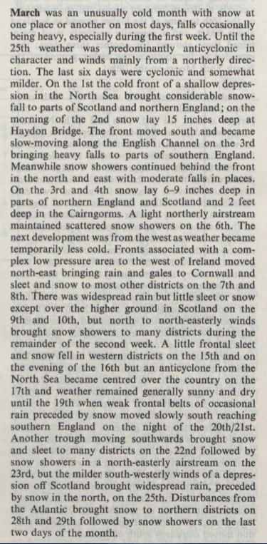
The March that followed was the coldest of the 20th century, ranking 10th in my list back to 1797, and 0.3C colder than March 2013. The fact that the monthly sunshine in 1962 was only slightly below average is testament to how cold the source of the air must have been. March 2013 was very dull by comparison!
An entry in London-weather.eu reads that March was colder than any of the previous 3 winter months: “The first three weeks were mostly mild and dry. It was often breezy which resulted in fewer than average night frosts. Frontal systems off the Atlantic passed through the London area, most of them weak though on the 12th, nearly 8mm of rain fell with southwesterly winds gusting to 57 knots. During the last week of the month, it became much colder, and on the 26th snow fell with the temperature not rising above -0.3C all day.”
The winter of 1961/62 ranks only 14th in my list of worst winters, mostly because the core of the cold happened in March which is considered spring in meteorological circles
The Snow Survey of Great Britain also makes interesting reading with these entries for February and March.
There’s been much anticipation regarding the forthcoming sudden stratospheric warming (SSW) event with many hoping that a resultant split vortex will result in unseasonably cold weather in the UK and… copious snow in the low-lying south-east.
An SSW event, which reverses winds high up in the atmosphere from a westerly to easterly, can downwell into the troposphere, bringing weather from a (usually) cold continent instead of the warm Atlantic.
While a split PV event is usually more conducive for cold weather in the UK, as opposed to a ‘displaced vortex’, which usually favours only the eastern US, it is by no means a guarantee of a cold pattern subsequently evolving.
Using results published in the paper Tropospheric Precursors and Stratospheric Warmings (Judah Cohen and Justin Jones), along with meteorological data for east London, I set out to find what influence past warmings had on the weather in the capital.
Looking 45 days either side of the central date for vortex splits gave the following, chaotic graph.
But every year is different. And there appears to be more likelihood of an SSW making a difference, in terms of prompting a colder pattern, the earlier in the winter it occurs.
The SSW in 1985 was followed by a 45-day mean temperature anomaly of -3.8C! If you look at a shorter timescale, 15 days after a split PV and the anomaly is -10C on January 16th: -4.9C is the second coldest January day in Wanstead of the past 60 years.
At the other end of the scale the SSW event on March 23rd 1965 was followed by a POSITIVE anomaly of 3.4C. Perhaps solar influence this late in the year can override any SSW? Elsewhere, however, according to the website london-weather.eu: “3rd March – A combination of deep snow cover and clear skies allowed minimum temperatures to fall below -21C in northern Scotland.”
During another SSW in 2001 results in London were fairly unremarkable though heavy snow fell in Ireland.
This graph shows a general downward trend in the 15 days following an SSW event
The other result to consider is the influence from ENSO. It seems that when La Nina is ‘too negative’ this can ‘overcook’ proceedings and actually leave our part of the UK with a positive anomaly, as this table shows. It should be noted, however, that thicker Arctic ice in the 1960s would also possibly have had more influence than now.
There hasn’t been a full SSW event for years. The impact this one will have on our weather in London, a tiny part of the globe, is impossible to quantify. Though the latest model output is encouraging for anyone looking for a chilly end to winter.


 Using results published in the paper


 The other result to consider is the influence from ENSO. It seems that when La Nina is ‘too negative’ this can ‘overcook’ proceedings and actually leave our part of the UK with a positive anomaly, as this table shows. It should be noted, however, that thicker Arctic ice in the 1960s would also possibly have had more influence than now.


You must be logged in to post a comment.