
This August was the third dullest since 1881. I’ve seen mentioned recently that August used to be regarded as an autumn month. For the past couple of years the final ‘summer’ month has been very disappointing for anyone looking for fine weather – much more akin to September or even October.

The first third of the month began pleasantly enough with a couple of days exceeding 27C. And on the 22nd the temperature reached 31.4C, only the third occasion that the mercury has risen above the 30C mark this summer. But summery highlights were few and far between.
Just under 120 hours of sunshine were recorded – that’s 62 per cent of the monthly average, the dullest August since 1968.
There were six occasions when the maximum exceeded 25C. Mean temperature for the month was 18.2C, which is on the nose of the 1981-2010 mean. Rainfall of 79.8mm was 159% of average. The wettest day occurred on the 24th with 18.4mm of rain.
What has September got in store weatherwise? The models today (September 1st) suggest a very slow progression of high pressure ridging into the UK from the west this weekend. Until then a cool northerly flow will persist with a mix of sunshine and possibly heavy showers. Most models suggest that by the end of the week a trough will run south, bringing a spell of cloud and rain before high pressure from the west eventually cuts off the cool northerly, replacing it with little or no wind, warmer sunny spells by day and misty nights – typical late summer / early autumn weather. Models then split over what will happen with the high next week. It could stay settled or, according to the ECMWF and GFS, the start of a breakdown could happen at the end of next week.

My long range outlook method suggests that September will be average temperature-wise, a mean of about 15.4C, at 52% probability. The next highest probabilities are for something rather warm and warm, both at 14% probability, though something rather cool also comes out 14% probability.
The highest probability for rainfall is 45% for something average. The next highest probability is for a dry September, at 23%. Rather wet works out at 14%.
My data for sunshine only stretches back to 1878. There is a 60% chance of average sunshine in September.
My August outlook was OK – I went for an average to rather cool August. I also said there was a 73% chance of a duller than average August – so not bad overall.
Here follows the full weather diary for August…Full stats for the month here:http://1drv.ms/1rSfT7Y
1st Bright but hazy start. Cloud gradually thinned to give a sunny afternoon with just a few clouds. Warmer.
2nd Sunny start with decreasing cloud.
3rd Sunny start quickly turned cloudy and blustery with brief burst of rain at 4pm. Then dry with variable cloud overnight and breezy.
4th Bright start but lots of cloud around and breezy. This lasting through the day.
5th Cloudy start, a few bright intervals and a strange light as thunder clouds passed to the south. Some light rain.
6th Cloudy start but cloud thinned to become sunny just before 2pm. Then variable cloud through the day with another eerie sunset.

7th Sunny start though was very cloudy at times.
8th Bright start and cloud quickly melted away to leave a stunning, sunny day in Sussex and Camber. Some cloud was seen a few miles inland but even this eventually melted away. Night turned chilly with heavy dew by dawn.
9th Sunny until 3pm then a bank of cloud brought cloudier spells. Warm overnight.
10th Bright start with sunny intervals. A burst of rain at 2pm damped the ground then it was mostly cloudy for the rest of the day.
11th Cloudy, calm start, spits and spots of rain before more organised rain in evening.
12th Cloudy start then brief sunny spells late morning before clouding up again. Warm front stalled over South Coast dumping 32mm on Herstmonceux.
13th Cloudy with rain spreading in late morning, this lasting until 3pm with odd burst of drizzle for rest of night. Some 78mm in Polegate and flooding reported in Brighton.
14th Cloudy and very humid with some brightness late morning. Showers returned at 3.30pm then more general rain arrived at 8pm.
15th Sunny start, clouded over at 2.30pm but then became sunny again at 5.30pm. Clear spells overnight.
16th Sunny start then cloudier in the afternoon. Very still air though made it feel pleasant.
17th Sunny start then cloudier around lunchtime. Sunny spells late afternoon though sun didn’t feel that strong.
18th Sunny start though quickly clouding over and dull. Some spots of rain on way to airport but dry in Wanstead.
19th Sunny start then going downhill with rain in the evening and overnight.
20th Bright start, clouding over.
21st Bright start before breaking to sunny spells and warm.
22nd Long sunny periods and 3rd occasion of 30C.
23rd Bright start but cloud built to give rain between 12.45 and 2.45pm.
24th Dull, rainy with rain between 9am and 11am.
25th Rain between 1pm and 3pm. Showers overnight then more general rain at obs time.
26th Dull and rain morning with squall blowing through at 1.30pm. Brightening up by 5pm then some bright spells late afternoon.
27th Bright start but with heavy cloud present. A brief shower in the afternoon before a clear evening made it chilly overnight.
28th Sunny start with light breeze, tending to cloud over middle part of the day. Skies cleared again to give sunny, pleasant evening.
29th Sunny start, cloud filled in by 3pm then rain arrived at 4pm, with moderate bursts.
30th Cloudy and humid start. Cloud stuck around all day – airless and therefore felt pleasant.
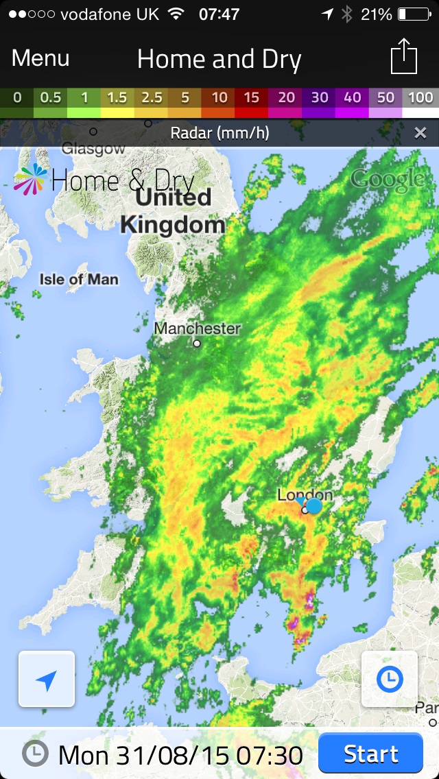
31st Cloudy start after overnight rain. The rain soon returned after 10.20am and fell, often heavily through until 12.30pm.

One thought on “August 2015: average, wet and very dull”